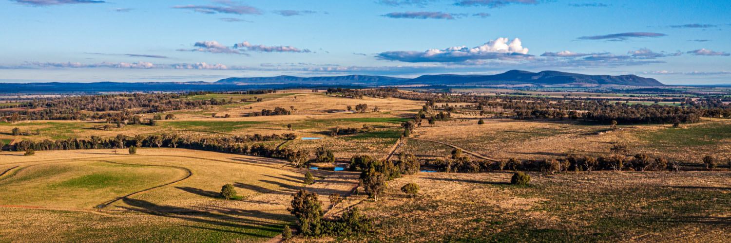
The regional plan is focused on protecting the region’s environmental assets and building healthy, sustainable communities.
Protecting biodiversity
A key way that the regional plan, and the planning system in general, can protect biodiversity is to identify and map land classified as high environmental value (HEV) land.
Objective 5 of the regional plan sets out how this will occur in Central West and Orana. It means that development on HEV land should be avoided. It also requires any planning for new development to consider biodiversity early to better manage impacts on sensitive areas.
The regional plan also sets out the importance of biodiversity corridors. These could be separate areas of habitat, long strips of vegetation or even larger natural areas. They allow animals and plant materials to move naturally through the landscape and support ecological processes.
Like the HEV mapping, strategic identification is essential. The regional plan looks at how the planning system can help to create biodiversity corridors on land and along waterways to protect regional ecosystems.
Read objective 5 (PDF, 23.1 MB) of the regional plan to find out more.
Water resources
Some of the region’s water sources include the Macquarie, Cudgegong, Lachlan and Belubula rivers, other smaller rivers and creeks and several groundwater sources.
The regional plan calls for a strategic approach to the Macquarie Marshes and the Lachlan Catchment Wetlands. Sustainable land uses can be planned to minimise environmental impacts and improve environmental health.
The Macquarie Marshes, spread across Warren and Coonamble LGAs, cover more than 200,000 ha. They support agricultural uses and are easy for people to visit on protected viewing decks and boardwalks.
The marshes provide a breeding site for waterbirds. The 22,000 ha Macquarie Marshes Nature Reserve is listed under the Ramsar Convention.
The Lachlan Catchment stretches from near Goulburn to the Great Cumbung Swamp near Oxley, in south west NSW. Its rivers, floodplains, swamps and wetlands provide habitat for birds and native fish.
It supports 471,011 ha of wetland with 8 nationally significant wetlands. These provide habitat for waterbirds.
Read objective 8 (PDF, 23.1 MB) of the regional plan to find out more.
Climate change and natural hazards
The region suffered the severe drought from mid-2017 to 2020 and the bushfire season of 2019-20, which burned 3,230 km2.
More recently, landscapes, communities and people suffered from mice plagues, and extensive flooding of the Lachlan and Macquarie river catchments in 2022.
Addressing natural hazards
Already, councils in Central West and Orana prepare water and drought management plans, integrated water cycle management plans, and floodplain and bushfire management strategies. Practical actions include council activities to:
- upgrade water capture, storage and treatment infrastructure and relining sewers
- flood-proof major infrastructure
- funds for energy efficiency and renewable energy installations.
To help address these ongoing challenges, the regional plan sets out objectives to build the region’s resilience to the changing climate and the effects of natural hazards.
This requires extensive work across different levels of government and with different agencies. Water security, as one example, is an essential element of building resilience, yet it doesn’t fall within the remit of the planning system.
The key is to develop workable frameworks and to always review hazard studies and maps. New knowledge will bring new information about the frequency, intensity and impacts of potential hazards.
Read objective 7 (PDF, 23.1 MB) of the regional plan to find out more on resilient places and communities.
An alternative water source for Parkes
Under a new scheme, Parkes Shire Council will produce up to 2 megalitres of water per day to irrigate open spaces. This is equal to 2 Olympic size swimming pools of water. This establishes new sources of water away from the drinking water supply.
Creating great places
Waterways attract people and businesses, yet many of the region’s cities and towns tend to see activity facing away from the water.
The regional plan establishes strategies to safely and sustainably bring more activity to rivers in urban areas. The regional plan aims for more trails and walking and cycling paths by rivers and open space networks.
Commercial or retail uses could be reoriented to the waterways. Aboriginal heritage will be celebrated through interpretative design elements.
As this occurs, there will be clear planning to protect riverine environments and protect people, places and the landscape from natural hazards.
Dubbo riverfront
Dubbo Regional Council is developing a master plan to activate the bank of the Macquarie River between the LH Ford and Emile Serisier bridges.
The plan includes a riverside stage, boardwalk and a kids’ playground. It will be easier for people to move from Dubbo CBD to the water. There will also be opportunities for new economic activity, and new planting to restore and rehabilitate the area.
Work to create great places can also draw from the region’s unique heritage and diverse landscapes.
The regional plan notes the need to protect visual landscapes and settings, and to ensure that new development both protects Aboriginal and non-aboriginal history.
Read objective 6 (PDF, 23.1 MB) and objective 9 (PDF, 23.1 MB) of the regional plan to find out more.
Dark Sky Park
The Siding Spring Observatory in the Warrumbungle National Park is one of the few light observatories in the world that can observe the entire southern-hemisphere sky.
The Observatory is at the centre of the Dark Sky Region, which covers a 200 km radius from the facility. Light associated with development in the Dark Sky Region can reduce the ability of the optical telescopes to engage in scientific investigation and, therefore, impacts the operations of the Observatory.
In 2016, the International Dark Sky Association declared the site and surrounds of the Observatory as Australia’s first Dark Sky Park. The Dark Sky Planning Guideline provides related guidance, such as early planning consideration to minimise and mitigate light pollution.
Read objective 10 (PDF, 23.1 MB) of the regional plan to find out more.
