A smart, connected and accessible region
Illawarra Shoalhaven Regional Plan 2041
-
- A Metropolis of Three Cities
-
- Bankstown
- Bayside West Precincts
- Burwood, Strathfield and Homebush
- Camellia-Rosehill
- Carter Street
- Cherrybrook Precinct
- Church Street North
- Circular Quay Renewal
- Explorer Street, Eveleigh
- Frenchs Forest
- Greater Parramatta and Olympic Peninsula
- Greater Penrith to Eastern Creek
- Hornsby
- Independent Community Commissioner
- Ingleside
- Macquarie Park
- Narrabri
-
- North West Growth Area Implementation Plan
- Alex Avenue
- Box Hill and Box Hill Industrial
- Colebee
- Marsden Park Industrial
- Marsden Park North
- Marsden Park
- North Kellyville
- Riverstone East
- Riverstone Town Centre
- Riverstone West
- Riverstone
- Schofields Town Centre
- Schofields
- Shanes Park
- Tallawong Station
- Townson Road
- West Schofields
- Historical documents
- Northern Beaches Aboriginal Land
- Orchard Hills
- Parramatta CBD
- Penrith Lakes
- Pyrmont Peninsula
- Rhodes
- Riverwood
- Seven Hills
- South Eveleigh Train Workshop
- Telopea
-
- Aerotropolis Core, Badgerys Creek and Wianamatta-South Creek precincts
- Agribusiness precinct
- Luddenham Village Interim Strategy
- Master planning in the Aerotropolis
- Northern Gateway precinct
- The planning pathway
- Western Sydney Aerotropolis Development Control Plan
- Western Sydney Aerotropolis Explanation of Intended Effect
- Western Sydney Aerotropolis explained
- Westmead
- Wianamatta South Creek
-
- Technical assurance panel
- Urban Design for Regional NSW
-
-
- Artificial Intelligence in NSW Planning
- Assessment reports independent review
- Design guidance
- Environmental Impact Statement guidelines
- Environmental matters
- Faster Local Assessment Grant Program
- Geographic areas
- Sydney Planning Panels
-
-
- Business parks
- Commercial activity and outlook
-
- Central Coast Employment Land Precincts Map
- Central Coast Total Employment Lands Map
- Greater Sydney Employment Land Precincts Map
- Greater Sydney Total Zoned Employment Lands Map
- Hunter Metro Region Total Zoned Employment Lands Map
- Hunter Region Total Zoned Employment Lands Map
- Illawarra-Shoalhaven Region Total Zoned Employment Lands Map
- Regional NSW Zoned Employment Lands Map
- Planning performance
- Urban Development Program
-
-
- Advertising and signage
- Alpine resorts
- Building systems circulars
-
- Apartment Design Guide
- Better apartments
-
- Boarding houses and co‑living housing
- Build-to-rent housing
- Caravan parks, manufactured home estates and moveable dwellings
- Group homes
- In-fill affordable housing
- Retention of existing affordable housing
- Secondary dwellings
- Seniors housing
- Social and affordable housing
- Supportive accommodation and temporary housing
-
- Bayside Council’s housing snapshot
- Blacktown Council’s housing snapshot
- Blue Mountains Council’s housing snapshot
- Burwood Council’s housing snapshot
- Camden Council’s housing snapshot
- Campbelltown Council’s housing snapshot
- Canada Bay Council’s housing snapshot
- Canterbury-Bankstown Council’s housing snapshot
- Central Coast Council’s housing snapshot
- Cessnock Council’s housing snapshot
- Cumberland Council’s housing snapshot
- Fairfield Council’s housing snapshot
- Frequently asked questions
- Georges River Council’s housing snapshot
- Hawkesbury Council’s housing snapshot
- Hornsby Council’s housing snapshot
- How we developed the targets
- Hunters Hill Council’s housing snapshot
- Inner West Council’s housing snapshot
- Kiama Council’s housing snapshot
- Ku-ring-gai Council’s housing snapshot
- Lake Macquarie Council’s housing snapshot
- Lane Cove Council’s housing snapshot
- Liverpool Council’s housing snapshot
- Maitland Council’s housing snapshot
- Mosman Council’s housing snapshot
- Newcastle Council’s housing snapshot
- North Sydney Council’s housing snapshot
- Northern Beaches Council’s housing snapshot
- Parramatta Council’s housing snapshot
- Penrith Council’s housing snapshot
- Port Stephens Council’s housing snapshot
- Randwick Council’s housing snapshot
- Ryde Council’s housing snapshot
- Shellharbour Council’s housing snapshot
- Shoalhaven Council’s housing snapshot
- Strathfield Council’s housing snapshot
- Sutherland Council’s housing snapshot
- Sydney Council’s housing snapshot
- The Hills Council’s housing snapshot
- Waverley Council’s housing snapshot
- Willoughby Council’s housing snapshot
- Wollondilly Council’s housing snapshot
- Wollongong Council’s housing snapshot
- Woollahra Council’s housing snapshot
- Inland Code
- Social housing
-
-
-
-
- A sensory explosion
- Bowraville Children’s Playspace
- Civic Park Playspace, Warragamba
- Cook Reserve Playspace
- Livvi’s Place, Wagga Wagga
- Livvi’s Place, Warragamba
- Lot Stafford Playspace
- Masterplanned communities
- Melaleuca Village Lake Playspace
- Muston Park Playspace
- St Peters Fences Playspace
- Ten simple tips for more inclusive playspaces
- Town Beach Playspace
- Tumbalong Park Playspace
- Waitara Park Playspace
- Wild Play Garden
- Everyone Can Play grant
- Our principles
-
- Synthetic turf study
- NSW regional outdoor survey
- The Greater Sydney Outdoors Study
-
- News
The Illawarra Shoalhaven will leverage its location and strengths to provide smart, efficient and reliable connections that bring residents and visitors closer to jobs, centres, education and the natural environment.
Investments in infrastructure such as improvements to the M1 Motorway, a new four-lane bridge over the Shoalhaven River at Nowra, and investigations into faster rail connections will physically improve connections.
Infrastructure agencies such as TfNSW will work with local government through forward infrastructure planning to address connectivity issues including congestion and further investigate potential road corridors in response to local and regional growth. Integrating land use planning and transport planning at a local scale will maximise the benefits of these investments, catalysing further investment that brings more jobs, housing diversity, and low-carbon transport choices.
The Shellharbour Airport connects the region by air to Victoria and Queensland, while freight is moved on road and rail corridors such as the M1 Princes Motorway (Mount Ousley Road), Picton Road, Appin Road, as well as the Illawarra and South Coast Rail Line and the Moss Vale to Unanderra Rail Lines. The proposed Outer Sydney Orbital (Stage 2) is investigating improved connections between Western Sydney and the Illawarra Shoalhaven.
The Illawarra Shoalhaven is well placed to embrace innovative thinking and digital technologies. It is already home to one of Australia’s most active business incubator and accelerators, iAccelerate, at the Innovation Campus in Wollongong. Co-working spaces and Siligong Valley, the local community network, support tech and start-up professionals from across the region.
In the post COVD-19 world, people are likely to:
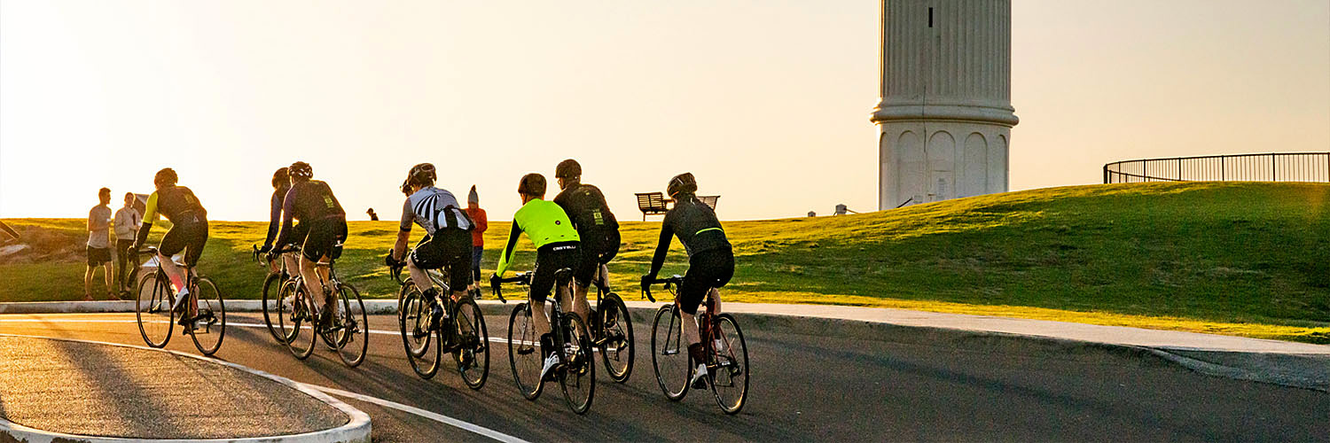
- place even greater value on walking and cycling networks
- seek more from digital connectivity to work flexibly
- generate additional demand for faster delivery of goods to homes and workplaces.
Opportunities for remote working and work hubs could mean more people can live in the region particularly as connectivity to Sydney, Western Sydney and Canberra becomes faster and easier.
For further details, read the Illawarra Shoalhaven Regional Plan 2041(PDF, 15.0 MB)
Objectives
The following outlines the objectives under theme 4 - A smart, connected and accessible region:
The Western Parkland City, Western Sydney City Deal, and tangible benefits presented through the Port Kembla international trade gateway, present once-in-a-lifetime opportunities for growth and collaboration. The Western Sydney and Illawarra Shoalhaven Roadmap to Collaboration is the first step towards unlocking significant growth opportunities for both regions.
The NSW Government has a vision for vibrant and growing regional economies, which includes better connectivity between regional cities, key centres and Greater Sydney. Reduced travel times will give people more choice about where they live and work and provide a catalyst for regional growth.
In 2016, more than 35 million tonnes of freight moved in, out and within the Illawarra Shoalhaven by road and rail including commodities such as coal, grain, flour, steel, cement and limestone, motor vehicles, mineral ore and manufactured goods. By 2056, containers and hydrogen are likely to be added to current commodities being transported into and out of the region.
Well-designed streets, paths and public spaces that provide physical separation from motorised traffic; easy to follow wayfinding; end-of-trip facilities; and green infrastructure with adequate shade will encourage more people to walk and ride as part of day-to-day life.
Illawarra Shoalhaven combines proximity to Sydney with an educated workforce and an ecosystem of innovation. Fostering smart technology in the region will attract and retain university graduates, improve economic diversity, promote resilience and contribute to more vibrant places.
The transport of the future will be shaped by technology and innovation like drones, automated vehicles and real-time service information.