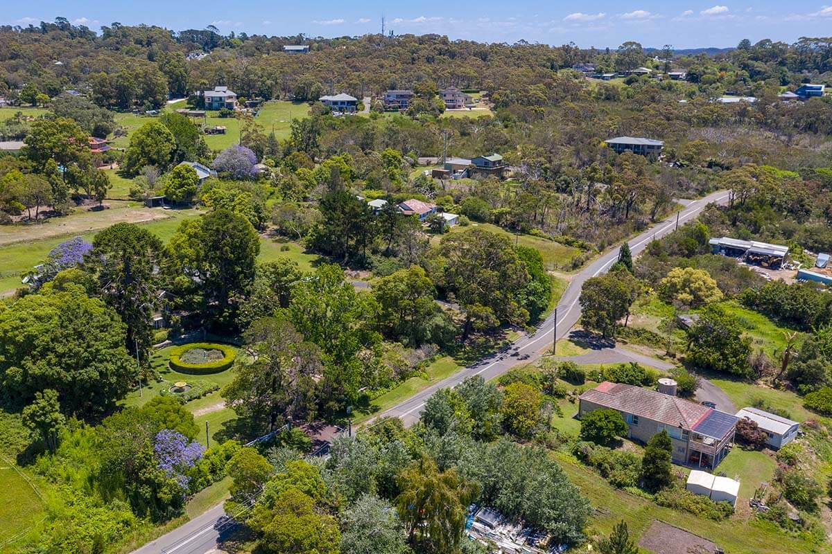
The department has completed its planning work for Ingleside and will not be proceeding with the Ingleside Place Strategy.
The draft Ingleside Place Strategy was exhibited from 25 May to 23 July 2021.
Thank you to everyone who provided feedback and made submissions, which have informed our decision not to proceed with the place strategy.
The department acknowledges the cost of providing infrastructure and acquiring land for water management, flooding and riparian corridor protection affects the viability of delivering homes in Ingleside.
You can find out more about the place strategy exhibition in our Consultation Outcomes Report (PDF, 661 KB). The exhibition documents can be seen on the NSW Planning Portal.
Planning for Ingleside will now be led by Northern Beaches Council, as part of the Northern Beaches Comprehensive Local Environmental Plan (LEP). The department will help co-ordinate input from state agencies.
Background information
A Land Use and Infrastructure Implementation Plan for Ingleside was exhibited in late 2016.
The plan envisaged 3,400 dwellings, biodiversity conservation and associated water related services and urban amenities.
The key issues raised in submissions include traffic, public transport, bushfire safety, conservation of the natural environment, density controls and acquisition of land for environmental conservation purposes.
A bushfire risk study commissioned by the Department of Planning, Industry and Environment in 2018 showed the potential of the Ingleside Precinct to be exposed to extreme to catastrophic bushfire risk, as well as concerns about the ability to evacuate the precinct safely in a bushfire event.
In response to community concerns and the findings of the Bushfire Risk Assessment, the planning package exhibited in 2016 will not be implemented. Detailed evacuation modelling is currently being undertaken which will help to inform future planning for the area.
Documentation provided from the planning package exhibited in 2016 can be found in the resources.
Resources
- Draft Infrastructure Delivery Plan (PDF, 4 MB)
- Draft Transport and Traffic Assessment (PDF, 5.6 MB)
- Draft Noise and Vibration Impact Assessment (PDF, 6 MB)
- Draft Demographic and Social Infrastructure Assessment (PDF, 6.4 MB)
- Draft Landscape Visual Assessment (PDF, 9.1 MB)
- Draft Water Cycle Management and Flooding Assessment (PDF, 9.6 MB)
- Draft On-site Effluent Subdivision Assessment (PDF, 4.8 MB)
- Draft Biodiversity Assessment Part A (PDF, 5.5 MB)
- Draft Biodiversity Assessment Part B (PDF, 9.6 MB)
- Draft Biodiversity Assessment Part C (PDF, 3.2 MB)
- Draft Riparian Corridors Assessment (PDF, 8 MB)
- Draft Bushfire Protection Assessment (PDF, 5.4 MB)
- Draft Heritage Interpretation Strategy (PDF, 7.5 MB)
- Draft Non-Indigenous Heritage Assessment (PDF, 9.8 MB)
- Draft Aboriginal Heritage Assessment (PDF, 7.3 MB)
- Draft Employment and Retail Assessment (PDF, 6.8 MB)
- Draft Preliminary Land Capability, Salinity and Contamination Assessment (PDF, 8.6 MB)
