Environment
New England North West Regional Plan 2041
-
- A Metropolis of Three Cities
-
- Bankstown
- Bayside West Precincts
- Burwood, Strathfield and Homebush
- Camellia-Rosehill
- Carter Street
- Cherrybrook Precinct
- Church Street North
- Circular Quay Renewal
- Explorer Street, Eveleigh
- Frenchs Forest
- Greater Parramatta and Olympic Peninsula
- Greater Penrith to Eastern Creek
- Hornsby
- Independent Community Commissioner
- Ingleside
- Macquarie Park
- Narrabri
-
- North West Growth Area Implementation Plan
- Alex Avenue
- Box Hill and Box Hill Industrial
- Colebee
- Marsden Park Industrial
- Marsden Park North
- Marsden Park
- North Kellyville
- Riverstone East
- Riverstone Town Centre
- Riverstone West
- Riverstone
- Schofields Town Centre
- Schofields
- Shanes Park
- Tallawong Station
- Townson Road
- West Schofields
- Historical documents
- Northern Beaches Aboriginal Land
- Orchard Hills
- Parramatta CBD
- Penrith Lakes
- Pyrmont Peninsula
- Rhodes
- Riverwood
- Seven Hills
- South Eveleigh Train Workshop
- Telopea
-
- Aerotropolis Core, Badgerys Creek and Wianamatta-South Creek precincts
- Agribusiness precinct
- Luddenham Village Interim Strategy
- Master planning in the Aerotropolis
- Northern Gateway precinct
- The planning pathway
- Western Sydney Aerotropolis Development Control Plan
- Western Sydney Aerotropolis Explanation of Intended Effect
- Western Sydney Aerotropolis explained
- Westmead
- Wianamatta South Creek
-
- Technical assurance panel
- Urban Design for Regional NSW
-
-
- Artificial Intelligence in NSW Planning
- Assessment reports independent review
- Design guidance
- Environmental Impact Statement guidelines
- Environmental matters
- Faster Local Assessment Grant Program
- Geographic areas
- Sydney Planning Panels
-
-
- Business parks
- Commercial activity and outlook
-
- Central Coast Employment Land Precincts Map
- Central Coast Total Employment Lands Map
- Greater Sydney Employment Land Precincts Map
- Greater Sydney Total Zoned Employment Lands Map
- Hunter Metro Region Total Zoned Employment Lands Map
- Hunter Region Total Zoned Employment Lands Map
- Illawarra-Shoalhaven Region Total Zoned Employment Lands Map
- Regional NSW Zoned Employment Lands Map
- Planning performance
- Urban Development Program
-
-
- Advertising and signage
- Alpine resorts
- Building systems circulars
-
- Apartment Design Guide
- Better apartments
-
- Boarding houses and co‑living housing
- Build-to-rent housing
- Caravan parks, manufactured home estates and moveable dwellings
- Group homes
- In-fill affordable housing
- Retention of existing affordable housing
- Secondary dwellings
- Seniors housing
- Social and affordable housing
- Supportive accommodation and temporary housing
-
- Bayside Council’s housing snapshot
- Blacktown Council’s housing snapshot
- Blue Mountains Council’s housing snapshot
- Burwood Council’s housing snapshot
- Camden Council’s housing snapshot
- Campbelltown Council’s housing snapshot
- Canada Bay Council’s housing snapshot
- Canterbury-Bankstown Council’s housing snapshot
- Central Coast Council’s housing snapshot
- Cessnock Council’s housing snapshot
- Cumberland Council’s housing snapshot
- Fairfield Council’s housing snapshot
- Frequently asked questions
- Georges River Council’s housing snapshot
- Hawkesbury Council’s housing snapshot
- Hornsby Council’s housing snapshot
- How we developed the targets
- Hunters Hill Council’s housing snapshot
- Inner West Council’s housing snapshot
- Kiama Council’s housing snapshot
- Ku-ring-gai Council’s housing snapshot
- Lake Macquarie Council’s housing snapshot
- Lane Cove Council’s housing snapshot
- Liverpool Council’s housing snapshot
- Maitland Council’s housing snapshot
- Mosman Council’s housing snapshot
- Newcastle Council’s housing snapshot
- North Sydney Council’s housing snapshot
- Northern Beaches Council’s housing snapshot
- Parramatta Council’s housing snapshot
- Penrith Council’s housing snapshot
- Port Stephens Council’s housing snapshot
- Randwick Council’s housing snapshot
- Ryde Council’s housing snapshot
- Shellharbour Council’s housing snapshot
- Shoalhaven Council’s housing snapshot
- Strathfield Council’s housing snapshot
- Sutherland Council’s housing snapshot
- Sydney Council’s housing snapshot
- The Hills Council’s housing snapshot
- Waverley Council’s housing snapshot
- Willoughby Council’s housing snapshot
- Wollondilly Council’s housing snapshot
- Wollongong Council’s housing snapshot
- Woollahra Council’s housing snapshot
- Inland Code
- Social housing
-
-
-
-
- A sensory explosion
- Bowraville Children’s Playspace
- Civic Park Playspace, Warragamba
- Cook Reserve Playspace
- Livvi’s Place, Wagga Wagga
- Livvi’s Place, Warragamba
- Lot Stafford Playspace
- Masterplanned communities
- Melaleuca Village Lake Playspace
- Muston Park Playspace
- St Peters Fences Playspace
- Ten simple tips for more inclusive playspaces
- Town Beach Playspace
- Tumbalong Park Playspace
- Waitara Park Playspace
- Wild Play Garden
- Everyone Can Play grant
- Our principles
-
- Synthetic turf study
- NSW regional outdoor survey
- The Greater Sydney Outdoors Study
-
- News
From the tablelands of the Great Dividing Range in the east to the rich black soil plains in the west, the region offers a range of landscapes and protected areas. This includes World Heritage-listed Gondwana rainforests such as Oxley Wild Rivers and New England National Parks and internationally recognised wetlands.
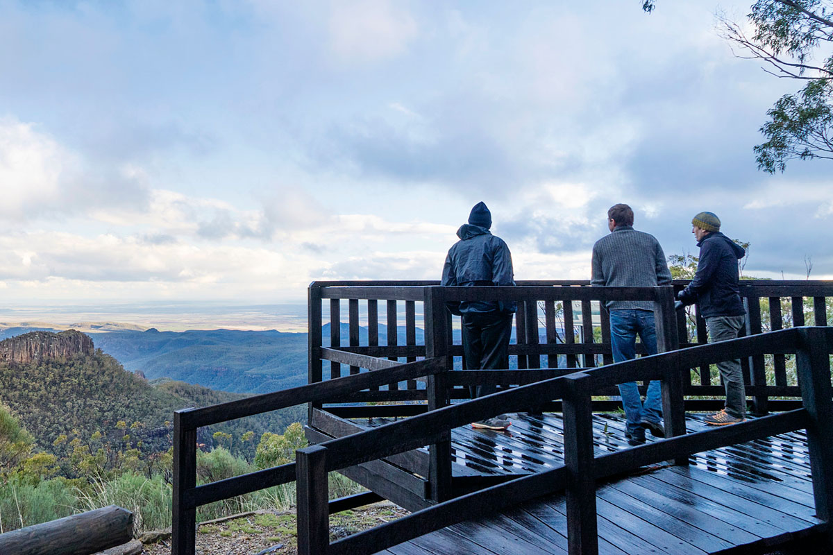
The rare sub-alpine communities at the ancient volcano of Mount Kaputar near Narrabri occur nowhere else on the planet. Near Moree, the Gwydir Wetlands State Conservation Area is one of the most significant inland wetland systems in NSW.
The region also contains Montane Peatlands and Swamps of the New England Tableland, the home of species listed as endangered under both state and Commonwealth legislation.
Download the New England North West Regional Plan 2041 (PDF, 19.9 MB).
National parks and landscapes
The region includes the Washpool, Gibraltar Range, Oxley Wild Rivers and New England national parks, which form part of the World Heritage-listed Gondwana Rainforests of Australia. These and other national parks are important areas of environmental value. Their landscapes, plants and animals, attract tourists and help to form the character and identity of the region.
The regional plan sets out how environmental values will be sustainably managed and protected as key ecological areas and tourist attractions. See objective 7 (PDF, 19.9 MB) and objective 12 (PDF, 19.9 MB) to find out more.
The regional plan establishes the need to work with the knowledge and expertise of local Aboriginal communities to protect local biodiversity and environmental landscapes. Find out more at objective 12 of the regional plan.
Water
Beyond the importance of the region’s lakes, reservoirs and watercourses to the region’s environmental health and critical biodiversity, water is essential for the region’s economic and social future.
The region’s water sources include:
- major water storages of Glenlyon (Queensland), Pindari, Copeton, Split Rock, Keepit, Malpas, and Chaffey dams
- Oaky and Styx dams, current subject to investigations
- the Macintyre, Dumaresq, Severn, Gwydir, Namoi and Peel rivers
- several groundwater sources.
Emerging industries such as renewable energy and intensive agriculture, as well as various employment and business initiatives, need secure access to water.
Water is already a finite resource and the changing climate could see a decline in water resources.
See objective 11 (PDF, 19.9 MB) of the regional plan for more details.