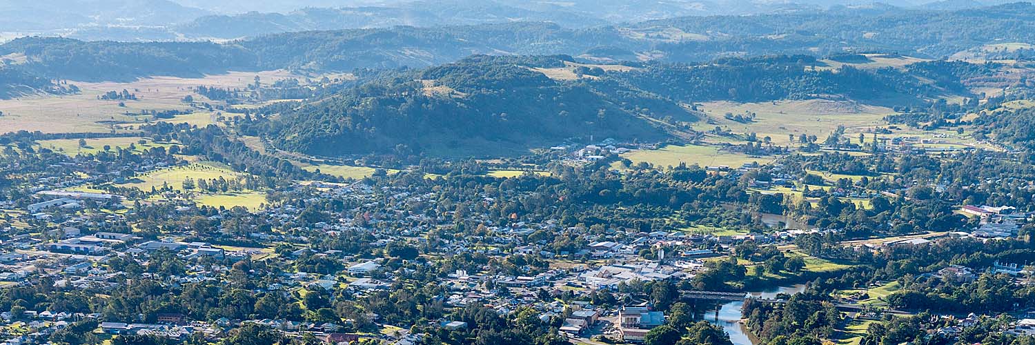
Lismore was severely impacted by major flood events in 2022, damaging more than 6,000 properties in the Northern Rivers.
The NSW Government released the Lismore Flood Recovery Planning Package to support the community as it rebuilds and get people safely in homes sooner.
The package makes way for faster and simpler planning pathways to:
- accelerate the approval of new homes and raising existing homes in parts of Lismore
- support the delivery of the $800 million Resilient Homes Fund
- strengthen and streamline decision-making.
Changes as part of this package of 2 planning reforms include:
- a complying development pathway for house‑raising
- a site compatibility certificate pathway to unlock safer residential land.
These changes will support Lismore’s flood-impacted community recover quickly and help improve its resilience to floods in the future.
A change was made to the package in June 2023 to remove the Lismore Planning Panel and return functions to council. Further recovery efforts can be driven by the NSW Reconstruction Authority, dedicated to disaster prevention, preparedness, recovery, and reconstruction.
Complying development pathway for house‑raising
The complying development pathway for house‑raising in Lismore is a faster, simpler approval pathway to speed up appropriate development. This pathway will allow houses to be raised above the flood planning level where a site assessment has confirmed it is safe to do so, and get people safely into their home sooner.
Developments that meet a strict set of standards can be signed off through a complying development certificate by the council or a registered certifier, rather than needing to go through a full development application process.
This pathway will also speed up the rollout of the Northern Rivers Reconstruction Corporation’s Resilient Homes Program, a $700 million program that includes funding to deliver house‑raising for eligible home owners in the Northern Rivers region.
Eligibility to use this approval pathway will be restricted to:
- properties that comply with the land-based exclusions in the NSW State Environmental Planning Policy (Exempt and Complying Development Codes) 2008 (such as critical habitat, wilderness areas and heritage items)
- properties that have been assessed as part of the Northern Rivers Reconstruction Corporation's Resilient Homes Package.
Complying development certificate applications for house‑raising will also require:
- a certificate of eligibility from the Northern Rivers Reconstruction Corporation or the NSW Reconstruction Authority – home owners may register their properties with the corporation and, following an assessment, the corporation may issue a certificate that grants eligibility for the complying development pathway to ensure that only properties deemed to have a low flood risk are eligible to use the pathway
- a certificate from a professional engineer certifying certain flood-related matters, including floor levels, materials, flood resistance and impacts on the flow of floodwater
- compliance with all the relevant development standards for house raising as complying development that are included in Schedule 3 of the Lismore Local Environmental Plan 2012.
Site compatibility certificate pathway to unlock safer residential land
A site compatibility certificate will allow suitable land identified through the Resilient Lands Program to be developed for housing. The pathway will enable land to be subdivided and used for residential purposes, even if the existing rules would normally not support it.
This site compatibility certificate planning pathway will help unlock more land faster to deliver new homes in suitable areas and help move Lismore residents to safety sooner.
The provisions will not apply to sensitive lands, such as flood planning areas, conservation zones or areas with high environmental significance. Site compatibility certificates will be assessed by the department before being issued.
Frequently asked questions
Only the Northern Rivers Reconstruction Corporation will be able to apply for a site compatibility certificate. This ensures sites are subject to a vetting process via the Resilient Land Program so that only appropriate land enters the site compatibility certificate pathway.
The Northern Rivers Reconstruction Corporation will identify potential sites that may be appropriate for residential development.
The corporation will prepare assessment documentation to support an application for a site compatibility certificate. The department will set the documentation required.
Certificate applications must be submitted through the NSW Planning Portal, where they will be publicly available. The department will consult with Lismore City Council, the NSW Rural Fire Service, if land is bush fire prone, and any other relevant agency during this process.
The department will then assess applications against a range of considerations before deciding whether to issue a site compatibility certificate.
The department will consider a range of matters, including:
- any comments received from Lismore City Council, or the NSW Rural Fire Service
- the relevant regional plan
- the suitability of development, considering the existing, approved and future uses of the site and surrounding land
- servicing and infrastructure requirements
- impacts on environmental values
- environmental hazards and risks
- flood evacuation and bushfire protection.
Once a certificate has been issued, a development application can be submitted to Lismore City Council even if the land use would otherwise not be permitted or is inconsistent with development standards, such as minimum lot size.
Site compatibility certificates will allow residential development or residential subdivisions to be carried out on land where it is currently not allowed by the local environmental plan. This will only happen after the application has been thoroughly assessed under the site compatibility certificate process and the normal development application process.
Northern Rivers Reconstruction Corporation will notify residents or owners of land adjoining sites where a site compatibility certificate has been issued. The community will also be able to have their say on these development applications once they are lodged with the council.
The site compatibility certificate process is intended to help Lismore recover from an extraordinary natural disaster by unlocking more land faster to deliver new homes in suitable areas and move Lismore residents to safety sooner.
For more information and questions about the Lismore Flood Recovery Planning Package, email [email protected]
