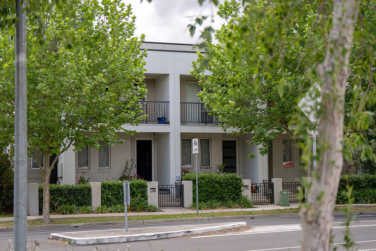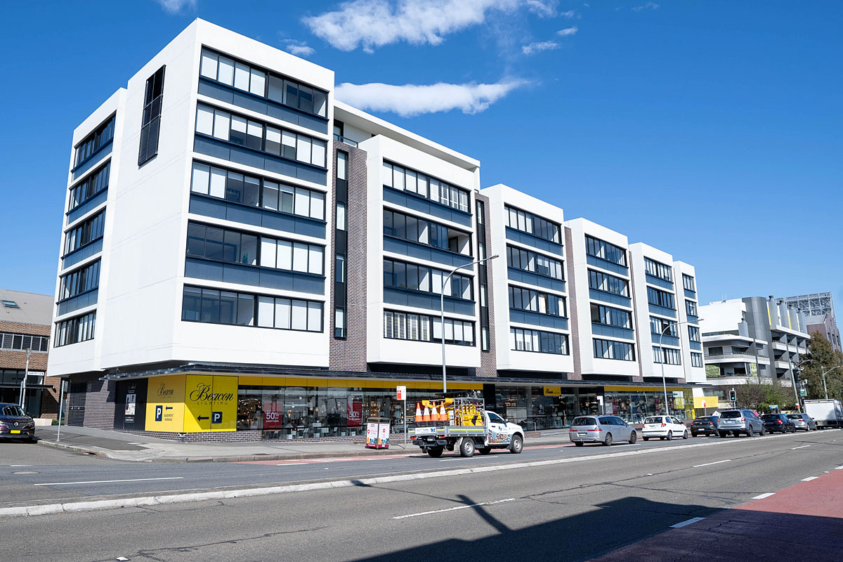
The NSW Government has introduced standards to encourage more Low and Mid-Rise homes to be built within an 800 metres walk of nominated town centres, train stations and light rail stations across metropolitan Sydney, the Central Coast, Illawarra-Shoalhaven, and the Hunter.
The Low and Mid-Rise Housing Policy is about creating more housing choice for people at different stages of life.
Importantly, the policy does not apply to sites that are affected by certain hazards and constraints. These exclusions are listed in the legislation and further details are provided below.
Type of land excluded
Bushfire-prone land includes vegetation categories 1, 2 and 3, as well as the buffer zone. Councils produce this mapping for their Local Government Area and supply it to the NSW Rural Fire Service.
Why the land is excluded
Excluding this land helps lower the risks associated with increased density in bushfire-prone areas.
It also has environmental benefits as it means fringe areas that are environmentally sensitive and well-vegetated will not be affected by the policy.
Deciding if property is affected
The State Environmental Planning Policy (Housing) 2021 specifies the policy does not apply to bushfire-prone land.
Local councils map bushfire-prone land. This information is also identified on a planning certificate.
Bushfire-prone land mapping is available at the NSW Rural Fire Service and is built into the NSW Planning Portal Spatial Viewer.
Type of land excluded
The Australian Noise Exposure Forecast is a tool used to gauge noise exposure at major airports. Australian Noise Exposure Forecast contours guide land-use planning around airport sites and evaluate the impacts of aircraft noise. In addition, Australian Noise Exposure Concept contours have been mapped for the Western Sydney International Airport, which are based on indicative flight paths for some planned runways.
Relevant Local Environmental Plans and State Environmental Planning Policies, refer to these contours. Mapping is publicly available.
Why the land is excluded
These areas have the highest aircraft noise exposure levels, which generally affects land under flight landing paths nearing the runways. Additional housing density is generally discouraged in these areas to ensure the effective operation of the airport and to minimise exposure to hazardous noise levels.
Deciding if property is affected
The State Environmental Planning Policy (Housing) 2021 specifies the policy does not apply to land affected by an Australian Noise Exposure Forecast contour of 25 or greater or Australian Noise Exposure Concept contour of 20 or greater.
Local and state planning authorities map land affected by aircraft noise, in conjunction with federal authorities for some airports.
Type of land excluded
Flood-prone land is related to the probable maximum flood defined in the NSW Government’s Flood Risk Management Manual, June 2023. The probable maximum flood is the largest flood that could conceivably occur at a location.
Why the land is excluded
The Hawkesbury Nepean Valley and Georges River catchments were identified as high-risk catchments in the 2022 NSW Flood Inquiry report. Any increase in dwelling capacity on flood-prone land in these areas requires a strategic approach and technical studies to appropriately identify and manage risk.
The risk-based approach taken in the Low and Mid-Rise Housing Policy excludes flood-prone land in these catchments. This exclusion will help to mitigate flooding and evacuation risks.
Deciding if property is affected
The State Environmental Planning Policy (Housing) 2021 specifies the policy does not apply to flood-prone land in the Hawkesbury Nepean Valley and Georges River catchments.
These catchments are mapped in State Environmental Planning Policy (Biodiversity and Conservation) 2021.
The relevant council can confirm whether land is affected by the probable maximum flood. The NSW SES also keeps public maps of the flood layers for these 2 catchments.
Type of land excluded
The flood planning area is defined in the NSW Government’s Flood Risk Management Manual, June 2023. It is generally the 1% annual exceedance probability plus appropriate freeboard.
Council areas affected are:
- Armidale Regional
- Ballina
- Bellingen
- Byron
- City of Cessnock
- Clarence Valley
- City of Coffs Harbour
- Dungog
- Goulburm-Mulwaree
- Kempsey
- Kyogle
- City of Lismore
- Nambucca Valley
- City of Newcastle
- Port Stephens
- Queanbeyan-Palerang
- Regional
- Richmond Valley
- City of Shoalhaven
- Singleton
- Tweed
- Upper Hunter Shire
- Walcha.
Why the land is excluded
The 2022 NSW Flood Inquiry report identified several high-risk river catchments and regions including:
- Northern rivers region
- Wilsons
- Tweed rivers
- Macleay
- Richmond
- Hunter
- Clarence
- Shoalhaven.
In these areas, any significant increase in dwelling capacity in the flood planning area requires a strategic approach and technical studies to appropriately identify and manage risk.
Deciding if property is affected
The State Environmental Planning Policy (Housing) 2021 (Housing SEPP) specifies the policy does not apply to the flood planning area within the listed Local Government Areas.
These catchments are not mapped in a State Environment Planning Instrument like the Hawkesbury Nepean Valley and Georges River catchments are, which is why the corresponding Local Government Areas within those catchments/areas have been referenced in the Housing SEPP.
The relevant council can confirm whether a property is impacted by the flood planning area. This information must be identified on a planning certificate.
Type of land excluded
This land is designated in Chapter 2 of the State Environmental Planning Policy (Resilience and Hazards) 2021.
Why the land is excluded
When rezoning or intensifying land uses on sensitive coastal and rainforest lands, the planning system requires assessments and technical studies of various risks such as erosion and environmental impacts. Excluding this land aligns with established policy intent in NSW.
Deciding if property is affected
The State Environmental Planning Policy (Housing) 2021 specifies the policy does not apply to land identified as a coastal wetland, littoral rainforests or coastal vulnerability area, within the meaning of chapter 2 of the State Environmental Planning Policy (Resilience and Hazards). These areas are mapped in the planning instrument.
You can use the NSW Planning Portal Spatial Viewer to determine if a location is affected.
Type of land excluded
High-pressure pipelines are normally large, steel pipelines that operate at high pressures to transport gas or liquids over long distances. These pipelines run beneath the ground and span thousands of kilometres around the country and within our cities and towns. High-pressure pipelines are typically constructed within well-defined easements or corridors.
Why the land is excluded
These pipelines are licensed under the Pipelines Act 1967 and operated according to Australian standards.
For this policy, any increase in dwelling capacity on land within 200 metres of a high-pressure, dangerous-goods pipeline requires a strategic approach and technical studies to ensure that risks are appropriately identified and managed. Existing planning controls will continue to apply in these buffer areas.
Deciding if property is affected
The State Environmental Planning Policy (Housing) 2021 specifies the policy does not apply to land within 200 metres of a relevant pipeline.
Relevant pipelines are defined in section 2.77 of the State Environmental Planning Policy (Transport and Infrastructure). The relevant local council can confirm whether a property is affected.
Type of land excluded
The areas are mapped under chapter 5 of the State Environmental Planning Policy (Housing) 2021.
Why the land is excluded
The policy does not include land within a Transport Oriented Development Program area, as identified in the Housing SEPP.
This will improve clarity in these areas by avoiding similar policy settings applying to the same land.
Deciding if property is affected
The State Environmental Planning Policy (Housing) 2021 specifies the policy does not apply to land within a Transport Oriented Development Program area, identified under chapter 5.
You can use the NSW Planning Portal Spatial Viewer to determine if a location is affected.
Why the land is excluded
The Low and Mid-Rise Housing Policy does not apply to land that comprises or contains a heritage item listed in a Local Environmental Plan or the State Heritage Register. This will help to preserve important heritage items.
Deciding if property is affected
The State Environmental Planning Policy (Housing) 2021 specifies the policy does not apply to land that comprises or contains a heritage item.
You can use the NSW Planning Portal Spatial Viewer to determine if a location is affected.
Why the land is excluded
Bathurst Local Government Area has only 2 small areas of land zoned as R2 where the policy could have applied. One of these is exposed to hazardous noise levels from the Mount Panorama racetrack. The other is affected by odours from a sewerage plant.
To mitigate exposure to these hazards, the policy will maintain the current local permissibility settings, which allow for a maximum of one house per lot (a standard dwelling house).
Deciding if property is affected
The State Environmental Planning Policy (Housing) 2021 specifies the policy does not apply to land within the Bathurst Local Government Area.
Why the land is excluded
Most residential land in this Local Government Area is bushfire prone and has environmental constraints. There is also an evacuation risk present throughout the local government area due to the single highway entry and exit. Any increase in dwelling capacity within this Local Government Area requires a strategic approach and technical studies to effectively examine and manage risks.
Deciding if property is affected
The State Environmental Planning Policy (Housing) 2021 specifies the policy does not apply to land within the Blue Mountains Local Government Area.
Why the land is excluded
The Hawkesbury Nepean Valley probable maximum flood extent affects most residential land in this Local Government Area. There are also an evacuation risks to residential areas. Any increase in dwelling capacity in this Local Government Area requires a strategic approach and technical studies to ensure effective risk management.
Deciding if property is affected
The State Environmental Planning Policy (Housing) 2021 specifies the policy does not apply to land within the Hawkesbury Local Government Area.
Why the land is excluded
Most residential areas in this Local Government Area are either bushfire prone and/or flood-prone land. There are evacuation risks throughout the Local Government Area.
Any increase in dwelling capacity within this Local Government Area requires a strategic approach and technical studies to ensure risks are appropriately managed.
Deciding if property is affected
The State Environmental Planning Policy (Housing) 2021 specifies the policy does not apply to land within the Wollondilly Local Government Area.