Landholders vegetation and compliance
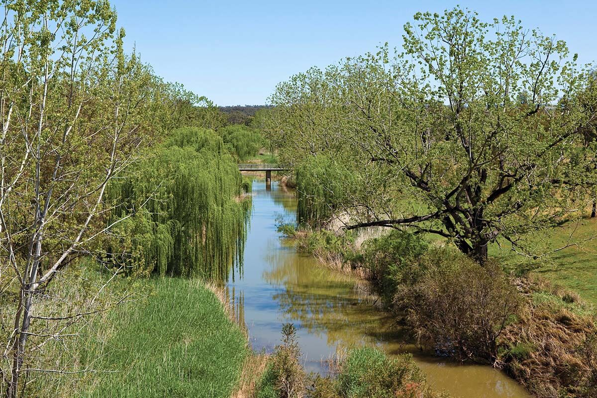
Your land may be home to rare and important native vegetation not found anywhere else in Australia and we need your help to preserve it. The Cumberland Plain Woodland is one of Australia’s rarest habitats with only 6% remaining. It’s crucial we conserve it.
Native vegetation means any plant, groundcover or tree native to NSW before Europeans arrived, as defined in Part 5A of the Local Land Services Act 2013. It can also include any plant, living or dead, in category 2–vulnerable land from the Native Vegetation Regulatory map. It generally excludes marine vegetation.
Spatial map
The Department has developed a spatial map to help landholders and other stakeholders view the final CPCP mapping and understand how their land might be affected.
Landholders can easily view the final CPCP mapping and relevant information for their property. The viewer provides details like protected koala habitat locations, land certified as “urban capable”, and vegetation mapped as part of the project.
View the CPCP spatial map, watch the tutorial video and read the spatial map viewer glossary (PDF, 87 KB) to help you use the spatial map.
While the CPCP may not change the zoning of your land, it adds requirements for protecting any important biodiversity values on your land.
Land under the CPCP is divided into 3 categories:

Avoided land
Avoided land is home to important plants and animals including threatened species. Development will be restricted on these lands and development controls will be in place to protect biodiversity. Consent authorities such as local councils must consider development controls for any development applications on this land.

Strategic conservation areas
Strategic conservation areas hold regionally significant biodiversity. This is land that can be restored to support a thriving environment and connect biodiversity across the landscape.

Certified urban-capable land
Certified urban-capable land is where future development is likely to happen. The government has made strategic decisions to avoid or minimise impact on biodiversity.
For more on land categories, go to Cumberland Plain Conservation Plan planning controls.
Removing vegetation
Landholders need permission from the relevant authority before clearing vegetation from land mapped as avoided or strategic conservation area. This is stated under Chapter 13 of the State Environmental Planning Policy – Biodiversity and Conservation 2021. It means the land:
- has significant biodiversity value
- provides connectivity and movement of animals
- has potential for ecological restoration (revegetation)
If your land is mapped in the CPCP as certified urban capable land, you can submit a development application to the relevant authority.
You don’t need to include biodiversity approvals under the state and federal biodiversity legislation because the CPCP provides strategic biodiversity certification for this type of land.
Steps to consider before removing vegetation:

Check with your council first
You may need approval before removing certain vegetation. As a landholder, you should check with your council for other legislation or environmental planning instruments that may apply.

Land zoned as rural
If your land is zoned rural and is also identified under the CPCP as urban-capable land, contact Local Land Services to check if you need their approval. Do this before you ask for development consent from council.

Avoided land and land in the strategic conservation area
You need the correct approvals before removing native vegetation from avoided land and/ or land within the strategic conservation area. If you remove vegetation without an approval in place, the relevant authorities can fine, penalise or prosecute you.
How to report suspected illegal clearing
Contact your local council if you think someone has removed native vegetation from avoided land or a strategic conservation area. The council or the relevant authority will investigate and take appropriate actions under the relevant regulation.
To support this investigation, the Department will give councils mapping of native vegetation in avoided land and strategic conservation areas specific to their local government area.
The mapping is part of CPCP’s Vegetation Extent Monitoring Management program, which monitors groundcover loss and woody vegetation loss annually within the CPCP area in:
- certified urban capable land areas
- major transport corridors
- avoided lands
- strategic conservation areas.