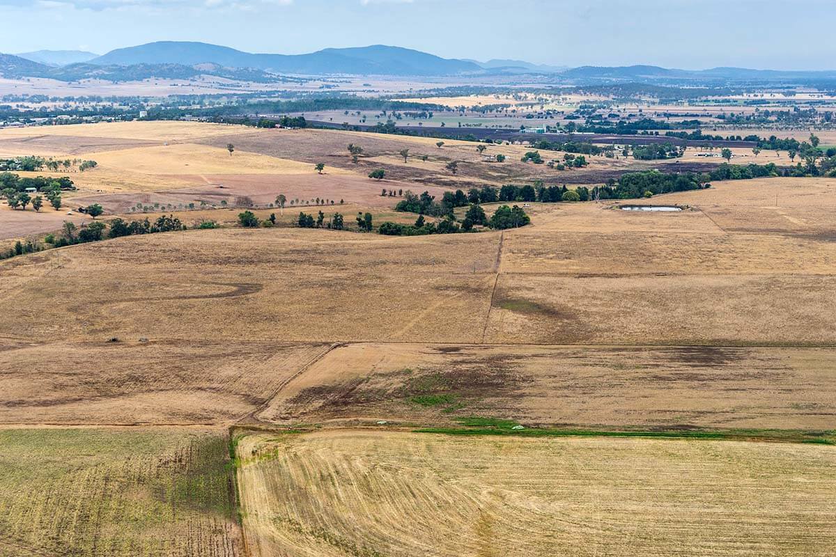
We’re working to protect high-quality agricultural land from the effects of mining and coal seam gas (CSG) activity.
To do this, we have:
- banned CSG activities on land that contributes to concentrated horse and wine industries (known as critical industry clusters)
- mapped 2.8 million hectares of strategic agricultural land across the state
- established the Mining and Petroleum Gateway Panel to scientifically assess mining and CSG effects on strategic agricultural land and its associated water resources through the gateway process
- introduced regulations governing exploration activity that the Land and Water Commissioner oversees
- introduced the Aquifer Interference Policy
- developed guidelines and technical notes for preparing an agricultural impact statement for state-significant development applications
- introduced codes of practice – one for fracture stimulation and another for well integrity
- made all CSG activity subject to an environment protection licence issued by the Environment Protection Authority
- carried out the findings of the independent independent review of CSG activity in NSW by the chief scientist and engineer
- carried out the NSW gas plan.
Gateway assessment
The gateway assessment is an independent one. It assesses the effects of a proposed state-significant mining or CSG project on strategic agricultural land and associated water resources.
Strategic agricultural land is made up of:
- biophysical strategic agricultural land – land with quality soil and water resources that can sustain high levels of productivity
- critical industry clusters – land that has concentrations of significant agricultural industries that may be affected by CSG or mining development.
Strategic agricultural land is mapped under the Environmental Planning Policy (Resources and Energy) 2021, also known as the Resources and Energy SEPP. You can view this on the NSW Planning Portal.
The independent scientific experts on the Mining and Petroleum Gateway Panel oversee the assessment process, which must take place before an applicant can submit a development application.
In addition, projects that could have a significant effect on water resources must be referred to the Commonwealth’s Independent Expert Scientific Committee. Its advice forms part of the gateway panel’s consideration of any proposal.
Site verification
Our site verification process helps mining and CSG operators – and in some circumstances landowners – to decide if land is classified as biophysical strategic agricultural land (BSAL).
If you wish to apply for a site verification certificate, register as a proponent on our NSW Planning Portal and follow the prompts in the application form.
An application must be prepared in line with the requirements of the Resources and Energy SEPP and the Interim protocol for site verification and mapping of biophysical strategic agricultural land (PDF, 399 KB).
Resources
- Amended planning rules for coal mining and coal seam gas activity – Frequently asked questions (PDF, 1.8 MB)
- Biophysical Strategic Agricultural Land in NSW map (PDF, 1.5 MB)
- Biophysical strategic agricultural land mapping across NSW – Frequently asked questions (PDF, 233 KB)
- Biophysical Strategic Agricultural Land maps (ZIP, 77 MB)
- Biophysical Strategic Agricultural Land maps – by Local Government Area (PDF, 196 KB)
- Critical Industry Clusters Upper Hunter – Frequently asked questions (PDF, 190 KB)
- Introduction of Gateway Process and Gateway Panel – Frequently asked questions (PDF, 115 KB)
- Strategic Regional Land Use Plan – New England North West (PDF, 4.7 MB)
- Strategic Regional Land Use Plan – Upper Hunter (PDF, 3.2 MB)
