About the Cumberland Plain Conservation Plan
The Cumberland Plain Conservation Plan (CPCP) is a landscape scale strategic conservation project which supports Western Sydney in the delivery of housing and infrastructure while protecting important biodiversity, including threatened plants and animals.
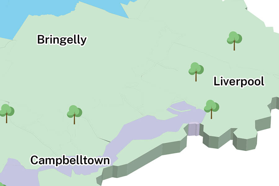
The CPCP area map (PDF, 2.6 MB) shows the project area, including growth areas and transport corridors.
The NSW Government approved the CPCP in August 2022 and the Australian Government approved it in March 2024.
Final CPCP package and associated documents can be viewed on the NSW Planning Portal.
In March 2024, the NSW Government introduced 8 more ecological improvements to the Cumberland Plain Conservation Plan.
Improvements to the plan
In March 2024, the NSW Government announced a series of enhancements to improve the CPCP’s biodiversity outcomes. This will ensure we get the balance right between providing more housing and protecting Western Sydney’s unique biodiversity.
CPCP Mitigation Measures Guideline
The draft updated Cumberland Plan Conservation Plan (CPCP) Mitigation Measures Guideline was exhibited from 14 March to 11 April 2025.
The proposed updates to the CPCP Mitigation Measures Guideline will:
- provide planning guidance around protecting native trees and plants in the CPCP area
- outline the benefits of open space and parks within existing bushland to improve biodiversity outcomes, reduce urban heat effects, create more open space and support more liveable communities
- improve its usability and scalability, apply it to all certified urban capable land, and clarify specific measures including fencing and how to apply the Design Guidelines for Koala-exclusion Fencing (once finalised).
Thank you to everyone who provided their feedback. The information provided will help us finalise the CPCP Mitigation Measures Guideline.
You can still view the draft guideline on the NSW Planning Portal.
Design Guidelines for Koala-exclusion Fencing
The draft Design Guidelines for Koala-exclusion Fencing was exhibited from 14 March to 11 April 2025.
The CPCP biodiversity enhancements also include the development of koala fencing guidelines to provide clarity to landholders, developers and consent authorities on the best-practice design for koala exclusion fencing, including technical specifications and location.
Thank you to everyone who provided their feedback. Your input will help inform the final guidelines and how fencing is implemented across south-west Sydney.
You can still view the draft guidelines on the NSW Planning Portal.
For more information on what we have done to improve the CPCP, read our frequently asked questions (PDF, 82 KB).
CPCP communications and engagement strategy
We are committed to partnering with all relevant stakeholders to ensure the efficient and effective implementation of the CPCP. To help us achieve this during the first 5 years of the CPCP, we have prepared a CPCP communications and engagement strategy (PDF, 1.45 MB).
This strategy is aligned with the Department’s Community participation plans and Australian Public Service framework for engagement and participation. It will help define who, when, and how we engage with stakeholders to deliver the CPCP.
Annual update
The CPCP is a strategic conservation project.
The CPCP has 26 commitments and 131 actions designed to improve ecological resilience and protect biodiversity in Western Sydney by 2056. A further 8 ecological biodiversity enhancements were announced jointly by the NSW ministers for planning and environment in March 2024.
The Australian Government approved the CPCP Annual Reporting Framework (PDF, 722 KB) which sets out the content and frequency of annual updates.
Frequently asked questions
The CPCP’s commitments and actions are being delivered to 2056, in line with the Greater Sydney Region Plan: A Metropolis of Three Cities and the Future Transport Strategy 2056.
The CPCP commits to help protect Western Sydney’s plants and animals, now and in the future, by delivering new conservation lands and securing land which hosts healthy native vegetation, has the potential to be restored and provides connectivity between conservation land.
The CPCP also commits to managing threats from pest animals, weeds and fire, doing research on threatened species and implementing a compliance program to deal with illegal clearing of native vegetation and raise awareness of the importance of looking after native vegetation of high biodiversity value.
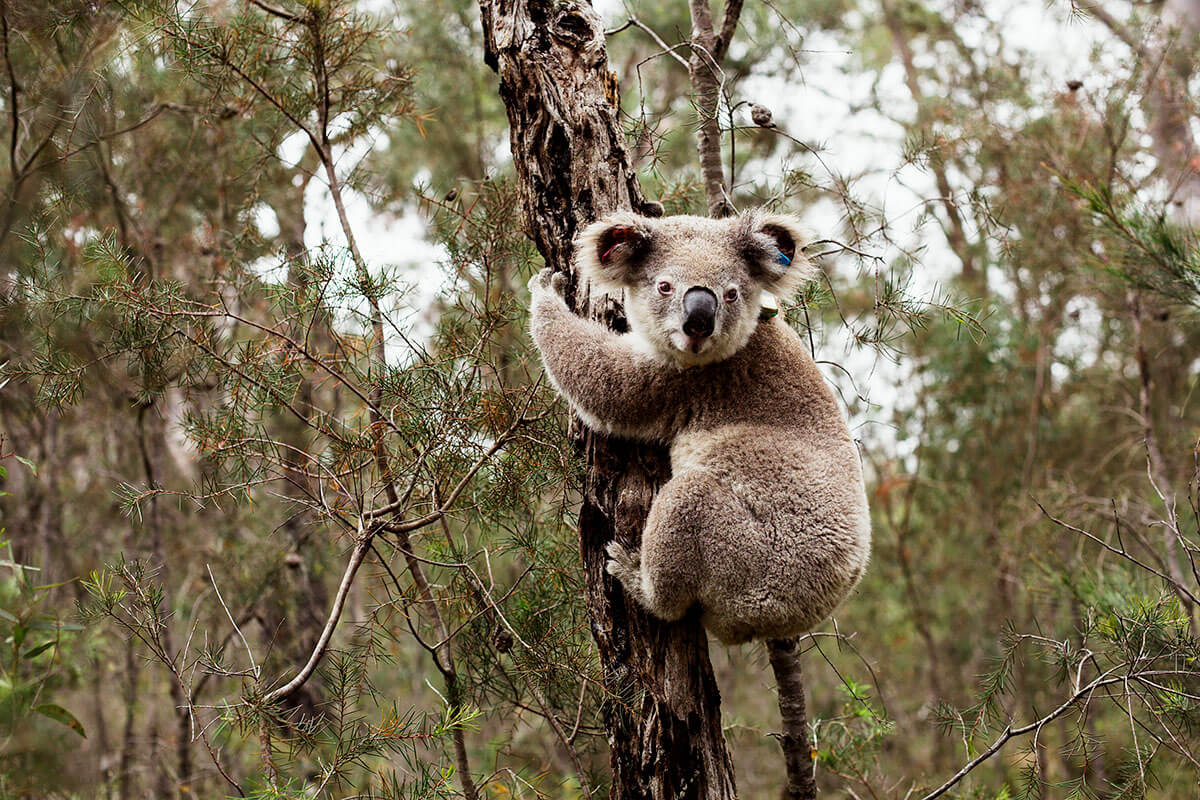
South Western Sydney has the largest koala population in the Sydney metropolitan area and is home to one of the most thriving koala populations in NSW. The NSW Government recognises the importance of koalas in the region, especially to the local community in Western Sydney.
The CPCP commits to protecting the southern Sydney koala population by addressing the impacts and potential risks to koalas from future development in the Wilton and Greater Macarthur growth areas, based on advice from the Office of the NSW Chief Scientist & Engineer (2020 and 2021) and the NSW Koala Strategy (2018), as well as:
- work with National Parks and Wildlife Services to establish the Georges River Koala National Park, east of Appin Road from Appin through to Long Point. This is to protect existing koala habitat and enhance the connectivity of fragmented patches of koala habitat through restoration
- install koala exclusion fencing between koala habitat and the urban interface, including new residential areas, motorways and state roads
- invest in the NSW Koala Strategy to research, monitor and support koala health and welfare in partnership with the local community.
The CPCP has biodiversity approvals under the NSW Biodiversity Conservation Act 2016 and the Commonwealth Environment Protection and Biodiversity Conservation Act 1999 in 4 nominated areas for urban development in the western Sydney:
- Western Sydney Aerotropolis
- Greater Penrith to Eastern Creek Investigation Area
- Greater Macarthur Growth Area
- Wilton Growth Area
The CPCP provides biodiversity approvals for 4 major transport corridors in western Sydney, as identified in Future Transport Strategy 2056, including:
- potential future extension of Sydney Metro Greater West, south from western Sydney Aerotropolis to Macarthur (except for the section in the south west Growth Area)
- the western Sydney Freight Line
- Outer Sydney Orbital, between Box Hill and the Hume Motorway near Menangle
- M7/Ropes Crossing Link Road.
These 4 corridors have EPBC Act approval, but only the sections of corridors within the nominated areas (excluding the tunnels sections) have strategic biodiversity certification (BC Act).
The full cost of the CPCP conservation program will be funded by contributions collected through the strategic biodiversity component of the Housing and Productivity Contribution.
More information
For more information, phone 02 9585 6060 or email [email protected]
For translation, phone 13 14 50 and ask for an interpreter in your language to connect you to 02 9585 6060. Then ask for the Cumberland Plain Conservation Plan team.

