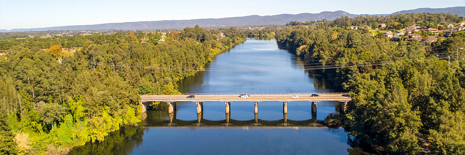
The Hawkesbury–Nepean Valley is one of the most complex floodplains in Australia. The unique landscape and large existing population in the Hawkesbury-Nepean Valley make this part of Western Sydney one of the highest flood risk areas in Australia.
The NSW Government is committed to reducing and managing this flood risk.
The government’s Hawkesbury–Nepean Valley Flood Risk Management Strategy identifies the risk and challenges in the approximately 500 square kilometres of the Hawkesbury-Nepean Valley floodplain. The strategy is aimed at helping manage the risks from historic decisions about the location of settlements and villages within the floodplain as well as help plan for the sustainable future for the valley’s residents. This will help ensure that the right development occurs in the right place and that communities are better prepared for and more resilient to future flood risks.
The strategy includes a long-term plan for the NSW Government, councils, businesses and the community to work together to understand and manage the flood risk and prepare for flood events.
Hawkesbury-Nepean Valley Flood Evacuation Model
The NSW Government has released the Hawkesbury Nepean Valley Flood Evacuation Model (FEM) Report to help understand the impact of growth on the capacity of the evacuation network, how this risk changes over time and the potential risk to life. This modelling equips government to make informed decisions for the community and provides an integrated approach to emergency response, regional land use and road network plans for the valley.
Development in one area of the valley can impact on the ability of other areas to safely evacuate during a major flood event.
It is important further growth in the area is managed so it does not adversely impact evacuation capacity, which can put people’s lives at risk.
The modelling will be an important input into the NSW Reconstruction Authority’s development of the regional Disaster Adaptation Plan for the Hawkesbury-Nepean Valley. It also provides a tool to assist in land use planning decisions.
We are committed to delivering growth in the right places putting the safety and resilience of the community at the heart of decision making, whilst providing opportunities for new jobs, housing and public spaces in Western Sydney.
