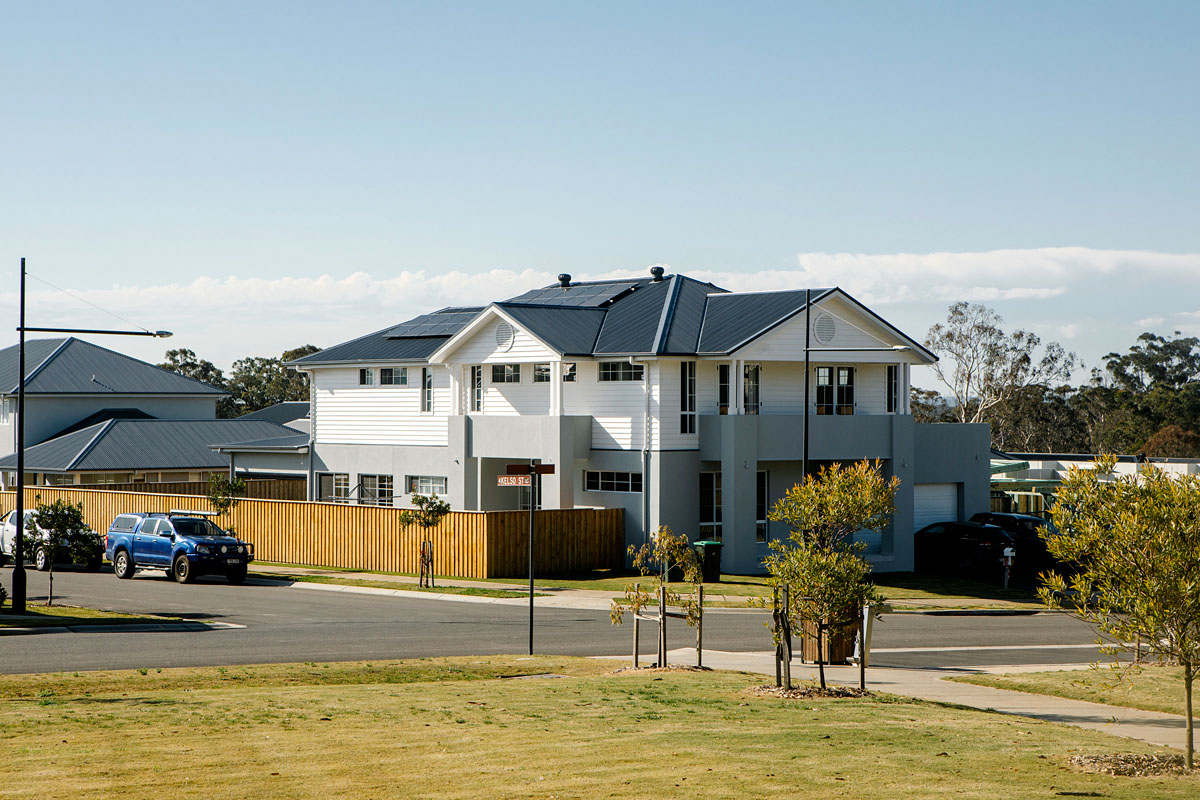
What is local development?
Local development is the most common type of development in NSW, with projects ranging from home extensions to medium sized commercial, retail, and industrial developments.
A development is considered local development if:
- a local environmental plan (LEP) or state environmental planning policy (SEPP) states that development consent is required before the development can take place
- it is not considered to be either Regionally significant development or State significant development.
How do I apply?
To find out if your development needs consent, you should first look at the zoning tables in the relevant LEP and/or SEPPs for the area of the proposed development.
You can enter your property address in the NSW Planning Portal to see what planning constraints and zoning rules affect your property.
LEPs and SEPPs classify development into one of the following categories:
- development that does not need consent
- development that needs consent
- development that is prohibited.
If your development needs consent, an application must be lodged with the consent authority – usually the local council.
This application must include:
- a description of the development
- the estimated cost of the development
- a plan of the land
- a drawing of development
- environmental assessment – usually a statement of environment effects report, but sometimes an environmental impact statement for proposals with higher potential impacts.
See the list of documents and drawings (PDF, 233 KB) that should accompany applications for development.
The level of environmental assessment that must be provided with the development application will differ depending on the likely impacts of the development.
The procedures for applying for development consent, the level of environmental assessment required, the notification required and appeal rights will differ depending on how a development is categorised.
Designated development
Designated development refers to high-impact developments (for example if it is likely to generate pollution) or are located in or near an environmentally sensitive area (for example a wetland). There are two ways a development can be categorised as ‘designated development’:
- the class of development can be listed in Schedule 3 of the Environmental Planning and Assessment Regulation 2021 (EP&A Regulation) as being designated development, or
- a LEP or SEPP can declare certain types of development to be designated.
Examples of designated development include chemical factories, large marinas, quarries and sewerage treatment works. For the full list of designated development types, read Schedule 3 of the EP&A Regulation.
If a development application is categorised as designated development, the application:
- must be accompanied by an environmental impact statement (EIS)
- will require public notification for at least 28 days
- can be the subject of a merits appeal to the NSW Land and Environment Court by objectors.
An EIS for designated development must be prepared in accordance with the Planning Secretary’s requirements. To request the Planning Secretary’s Environmental Assessment Requirements (SEARs), an applicant must complete Form A (PDF, 186 KB).
Integrated development
For integrated development approval must be obtained from other approval bodies (such as the NSW EPA) before consent can be granted. Integrated development applications require a permit listed in section 91 of the EP&A Act (for example an aquaculture permit, mining lease, pollution licence, Aboriginal heritage impact permit).
The consent authority must refer the development application to the relevant approval body and incorporate their general terms of approval. The consent authority must not approve the development application if the approval body recommends refusal. If the advice is not received in 21 days after that body receives the application or requested additional information, the consent authority can determine the development application.
Advertised development
For advertised development, the consent authority must give public notice of the development application. Advertised development includes:
- Integrated development, if it requires an approval under the Heritage Act 1977 (NSW), the Water Management Act 2000 (NSW) or the Protection of the Environment Operations Act 1997 (NSW) (pollution licence) (called ‘nominated integrated development’)
- Threatened species development (development affecting threatened species, which requires a species impact statement)
- Class 1 aquaculture development (development that is Class 1 aquaculture under State Environmental Planning Policy (Primary Production) 2021.
The notification period for advertised development is 14 days, or 28 days for integrated development and threatened species development.
Development consents are issued by the consent authority. This is usually the local council, but can sometimes be the Minister for Planning if specified in a SEPP. For more information about this process, please contact your local council.
Application forms for Part 4 development proposals
Download application forms needed to get approval for Part 4 development proposals where the Minister for Planning is the consent authority.
Other development assessment systems
There are 9 different planning approval pathways in NSW including local development.
Relevant legislation
- Environmental Planning and Assessment Act 1979 – Part 4
- Environmental Planning and Assessment Regulation 2021
- List of SEPPs relevant to each project
- Local Environmental Plan of council where development is located
- Development Control Plans relevant to location of development
More information
For more information:
- visit the NSW Planning Portal
- go to Your guide to the DA process
- phone the Planning Customer Support Team on 1300 420 596 and select option 2
- contact us
