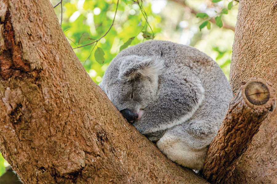
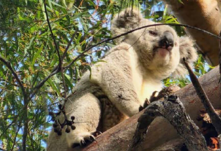
The south-western Sydney koala population is Sydney’s largest and is one of the most thriving koala populations in NSW.
The NSW Government is committed to protecting koalas and their habitat within the Cumberland Plain Conservation Plan (CPCP) area. The commitments and actions in the CPCP will monitor and support the health and welfare of this koala population.
Key achievements
We’ve reached a milestone in our protection and expansion of koala habitat in south-west Sydney. In June 2024, we planted 20,000 trees and shrubs at our initial project site, with another 20,000 planted in November 2024.
Over many decades, these 10 hectares of protected reserve will evolve from open paddock to open forest and woodland. To ensure that the future habitat can support koala populations, at least 30% of the trees planted are preferred local feed trees, such as grey gums.
As the trees and shrubs mature, they will increase the value and area of protected habitat for koalas in south-west Sydney.
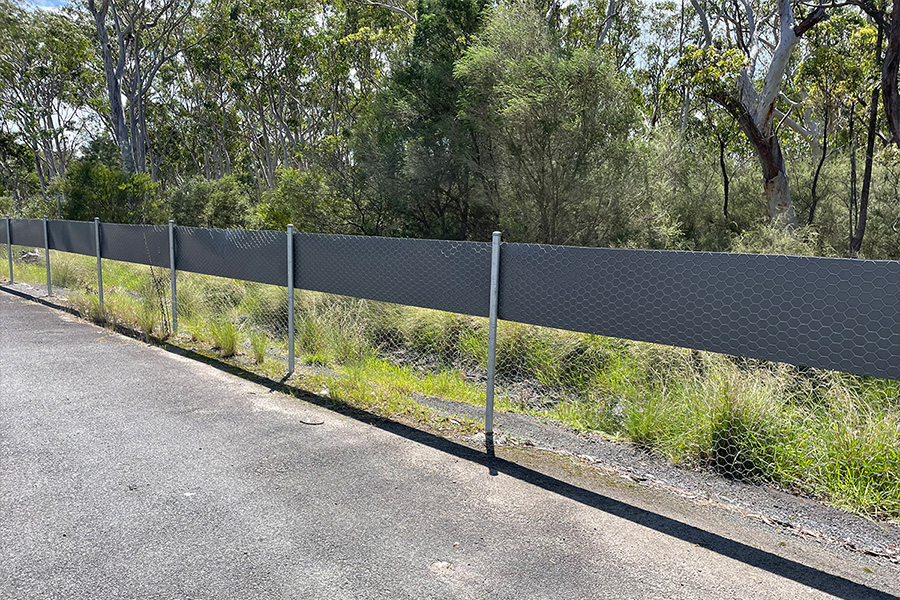
We are installing CPCP koala-exclusion fencing between koala habitats and providing safe koala crossings along Appin Road and other linear infrastructure. The NSW Government has provided $26.7 million to build 3 koala-friendly crossings in Appin.
View the location map of CPCP koala friendly crossings (PDF, 5.9 MB).
Kings Falls Bridge
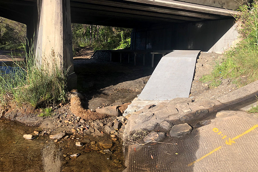
In 2022, we constructed a CPCP koala underpass at Kings Falls Bridge on Appin Road with Transport for NSW. This supports the north–south movement of koalas between the Georges River Koala National Park and koala habitat to the south.
We also installed 750 metres of koala-exclusion fencing to keep koalas off Appin Road and direct them to the underpass. Work is continuing to improve the crossing and extend the fencing.
Appin Road at Brian Road
Together with Transport for NSW, we are providing funding for a koala-friendly crossing under Appin Road near Brian Road.
In early 2023, Transport for NSW publicly exhibited a plan for a koala-friendly crossing under Appin Road near Brian Road in Appin. Transport for NSW is addressing design concerns raised during the exhibition.
The Office of Strategic Lands have also started the process of buying properties so we can build the koala underpass and restore the land with native plants to support a functional koala corridor.
Two more koala underpasses, unrelated to the CPCP, are being installed along Appin Road at Beulah and Noorumba and koala-exclusion fencing installed between Gilead and Rosemeadow.
To know more about these projects, visit Transport for NSW Appin Road projects.
Upper Canal at Ousedale Creek junction
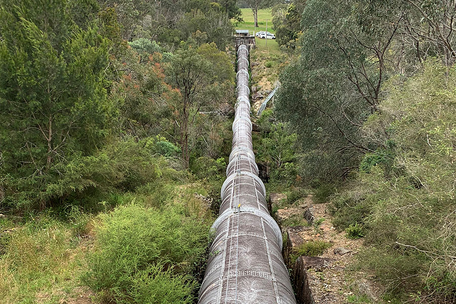
WaterNSW, under the CPCP, will install an over-pipe crossing and 4 under-fence crossings to improve koala access on the east–west corridor at the heritage-listed Upper Canal. Investigations, detailed design work and environmental assessments were completed in June 2023, with construction planned to begin in 2026.
Hume Highway, Wilton
Transport for NSW is installing koala exclusion fencing on the Hume Highway, Wilton at Picton Road interchange and south of Allen’s Creek bridge. This project, funded with $1.5 million under the CPCP, is being delivered on behalf of the Department. Fencing will keep koalas off the Hume Highway and direct them underneath bridges where they can move safely between habitats.
In partnership with the NSW Koala Strategy, we have developed a 3-tiered program that will assess and monitor key koala outcomes from the Cumberland Plain Conservation Plan.
Read the findings of 2023 koala monitoring (PDF, 130 KB).
Regional survey
We monitor koalas in south-west Sydney each year by acoustic survey and drones to establish where they are living and their relative abundance. The regional survey aligns with statewide monitoring under the NSW Koala Strategy. The survey will allow the south-west Sydney koala population to be directly compared with other koala populations across the state.
Disease monitoring
Every 2 years, we are monitoring the chlamydia status of Campbelltown–Wollondilly koalas. Surveys done in 2021 and 2023 confirmed that Campbelltown koalas remain chlamydia-free, but that chlamydia is present in the population south of Appin.
Population estimate
Each year, we are monitoring koalas in the Georges River Koala National Park to track koala densities and the number of koalas present in the reserve over time. The survey will take place every spring using song meters to listen to male koalas calling.
The CPCP has contributed funding to a range of projects that support the health and welfare of the koala population in south-west Sydney.
Monitoring of koalas released into the wild
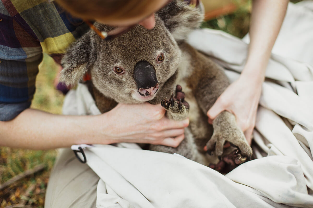
Research by Science for Wildlife looked at koala survival after they have been in care to inform current protocols for releasing them. The project monitored 36 koalas for up to 12 months to see how they survived. This project has contributed to better carer procedures and koala release protocols. The CPCP funded the development of an app for wildlife carers that helps them find suitable feed trees for koalas in care.
Vaccine trial for Campbelltown koalas
A research trial led by University of Sydney vaccinated 53 koalas against chlamydia and monitored them over 12 months. While the vaccine produced an antibody effect, it was not 100% effective. Of the 53 koalas, 4 contracted the disease within 6 months of vaccination.
The trial concluded that vaccination alone may not give enough protection against chlamydia and other management actions may be necessary to prevent infection of the Campbelltown koala population.
Koala coordinator for south-west Sydney
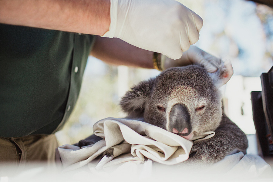
In partnership with the NSW Koala Strategy and University of Sydney, the CPCP is funding a unique coordinator role at the Wildlife Health and Conservation Hospital at Camden. The role will improve the record management on koala welfare and provide training and support for koala carers in south-west Sydney.
South-west koala protection
The south-west koala population is part of a larger regional population that extends from Campbelltown, through Wollondilly, to Wingecarribee. Learn about the key actions we have taken to protect these koalas.
Adopting expert advice
The Office of the NSW Chief Scientist and Engineer provided 31 principles for protecting koalas in the area covered by the CPCP in its advice regarding the protection of koala populations associated with the CPCP.
We have adopted all 31 recommendations from the Response to advice – Office of the NSW Chief Scientist & Engineer 2021 (PDF, 2.3 MB) report.
For information about how we applied the expert advice in relation to functional koala corridors read:
